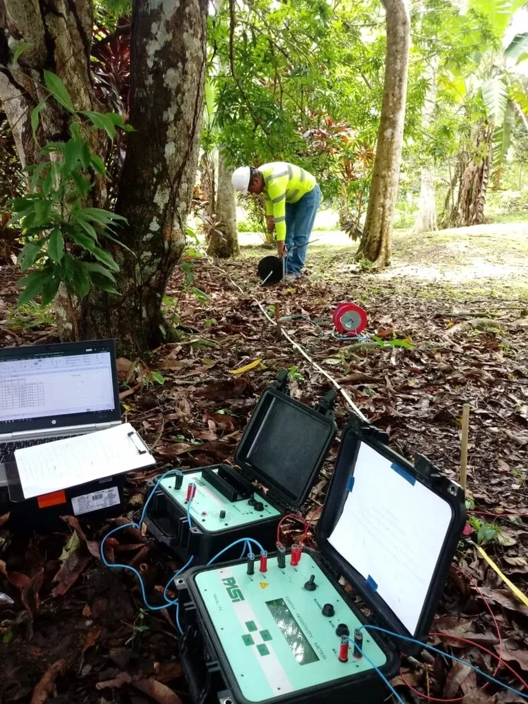
The contrast between Queensborough’s low-lying deltaic silts and the glacial till uplands around Moody Park is stark, and anyone who has excavated in both zones knows that a single borehole log rarely tells the full story. In New Westminster, where the Fraser River has deposited meters of soft, compressible sediment against Pleistocene drifts, we rely on vertical electrical sounding to bridge the gap between point-source data and the continuous subsurface profile that engineers actually need. The method reads resistivity contrasts that differentiate saturated clay from dense till, helping us map buried channels and perched water tables before a single shovel breaks ground. When combined with targeted test pits to ground-truth the geophysical signatures, the resulting model becomes a reliable foundation for foundation design itself.
A VES line across the New Westminster upland-to-floodplain transition can capture the till-clay interface in a single afternoon, replacing days of exploratory drilling.